Dig Deeper: How Do Archaeologists Know Where to Dig?
Dig Deeper is a monthly blog focusing on the basics of archaeology by taking a closer look at the exhibition Archaeology 101, which is currently featured at the Center.
Introduction
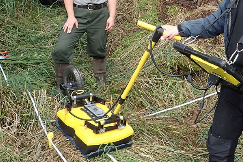
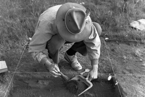
To determine where a site might be, archaeologists conduct a survey, which can include walking through a site and digging holes of similar depths at an equal distance apart from each other, known as shovel test pits, as well as GPS, resistivity meters, and ground penetrating radars. These methods allow archaeologists to determine where to dig without substantial impact or damage to the site itself.
Cultural Resource Management of Land Development
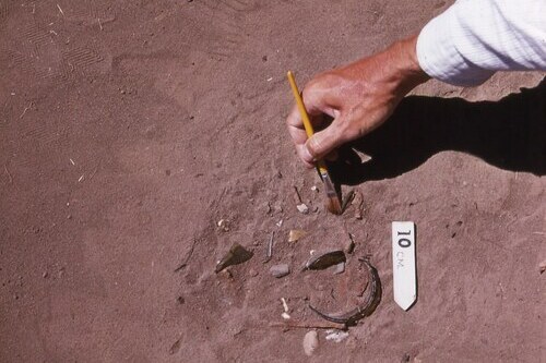
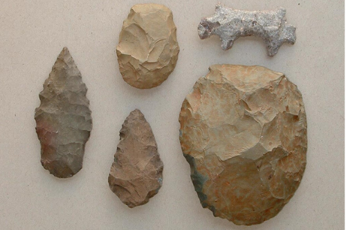
Most of the collections that come in to the San Diego Archaeological Center are excavated from land that is to be developed. By law, developers are required to hire a Cultural Resource Management (CRM) firm that will provide archaeologists (and other specialists like geologists and paleontologists) that are on site during the development process so that if any artifacts or ecofacts are found, they can be uncovered and studied. But what about sites that have nothing to do with a development?
Other Ways to Locate Sites
Archaeologists have many different ways that they locate sites. Researching historic records pertaining to a specific area is a great place to start. By knowing where previous human activity was, archaeologists can observe patterns. Many sites are visited more than once, so finding past record of any previous excavation or history, could also help archaeologists know where to continue their exploration.
Surveying
Before any sort of excavation is done at a site, the site is first surveyed visually. This is accomplished by establishing a grid system and then using that system to walk around scanning the ground for artifacts, such as ground stone, historic glass, or midden soil (or garbage dump). If midden is found, archaeologists know that the site was inhabited by humans at some point. Soil becomes darker and almost oily from organic materials that humans discarded in the past, making the soil easier to spot.
Tools Used for Surveying and Mapping Sites
Geophysical tools can be incredibly useful for archaeologists to use while looking for site features, like foundations, floors, or walls. A resistivity meter locates sites by measuring electrical resistivity of the soil and any features or artifacts that might by underground. A wall that is buried underground will produce more resistivity than the soil that is around it. Magnetometers and ground penetrating radar (GPR) work similar to resistivity meters. They show the presence of artifacts and features by highlighting the differences in the soil. A tool you may already recognize, global positioning systems (or more commonly known as, GPS) or the total station that was introduced last month, give highly accurate data about the location and position of sites in the surrounding area.
Up Next
Come back next month to dig even deeper and explore the different ways in how archaeologists know who used the artifacts that they uncover during an excavation!
By Jessica McPheters, Collections Manager
Learn More


